
Weather clear until Wednesday, rain from Thursday, 29 districts at higher risk

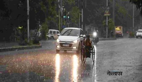
According to the Meteorological Forecasting Division, the weather across the country will generally remain clear until Wednesday, Kartik 11, while rain and snowfall are likely to begin from Thursday, Kartik 12. The division said moderate rain and snow, with thunder and lightning, are possible in many parts of Koshi, Madhesh, Bagmati and Gandaki provinces on Thursday.
Some areas of Lumbini and a few areas of Karnali and Sudurpashchim may also receive rainfall. The division has urged people to stay alert for floods, landslides and debris flow, as heavy rain and snowfall are possible in one or two places in the mountainous and hilly regions of Koshi, Bagmati and Gandaki.
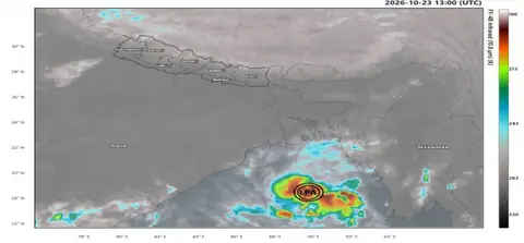
According to meteorologist Ujjwal Upadhyay, a low-pressure system over the Bay of Bengal is likely to turn into a cyclone by Monday and move toward the coast of northern Andhra Pradesh and southern Odisha. Upadhyay said that between Kartik 12 and 15, some places could receive around 100 millimeters of rain and others up to 200 millimeters.
According to Dr. Binod Pokharel, associate professor at Tribhuvan University, this system could bring rain for three to four days. Meteorologists have urged people not to harvest crops, to avoid trekking in mountainous and hilly areas, and to exercise caution on the Prithvi and BP highways from Kartik 11 to 15.
An official at the National Disaster Risk Reduction and Management Authority suggested that farmers planning to harvest paddy between Thursday and Saturday should work only after assessing weather conditions.
Sources
Nepal's top stories, twice a day on video
Morning and evening: short, clear and sourced (in Nepali).
Subscribe on YouTubeFollow on Facebook