
Rain system shifts west, flash flood risk high in 38 districts; Archale in Palpa records highest rainfall
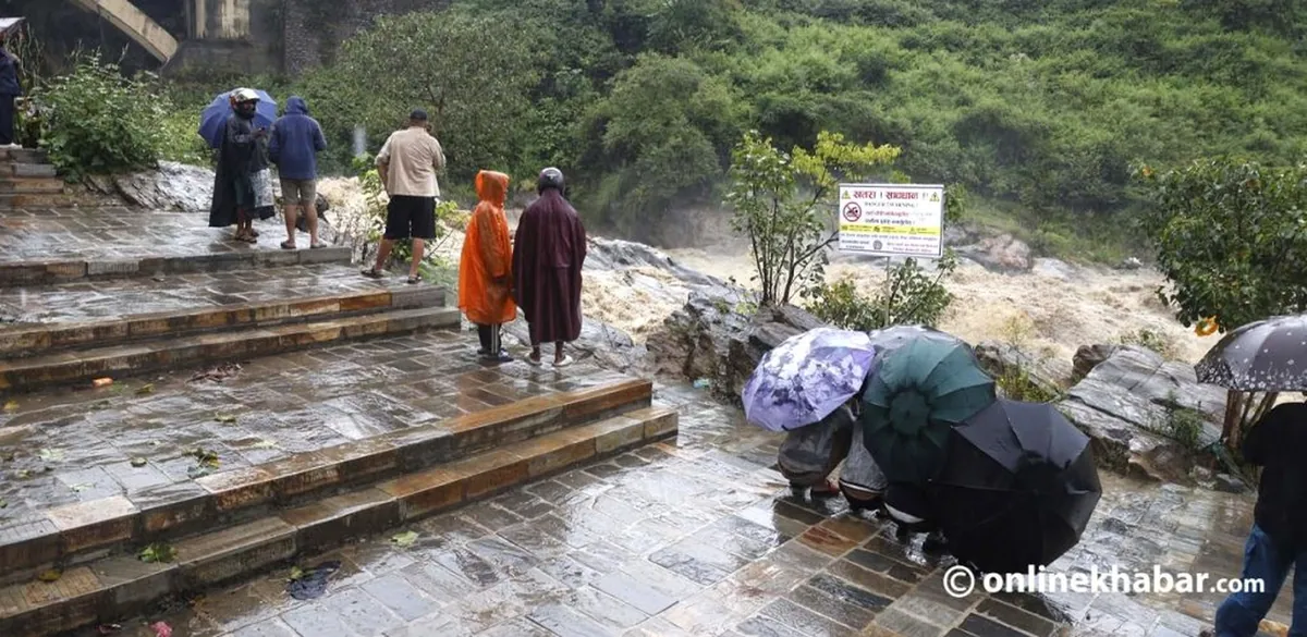
The effect of a low-pressure system formed over the Bay of Bengal is shifting westward, and rainfall is forecast to increase over the western region tonight and tomorrow.
According to the Department of Hydrology and Meteorology, the system is currently near north Maharashtra and Chhattisgarh in India and will weaken over the next 24 hours. Meteorologist Rojan Lamichhane said rainfall will decrease in the eastern part of the country from Saturday, with weather gradually improving from Monday, Asoj 12.
The department has forecast very heavy rainfall at one or two places in Lumbini and Gandaki today, and in Lumbini and Sudurpashchim tomorrow. On the risk map of the Weather Forecasting Division, some districts in Bagmati and the east are marked yellow, while high hill and mountain districts west of Gandaki are marked red.
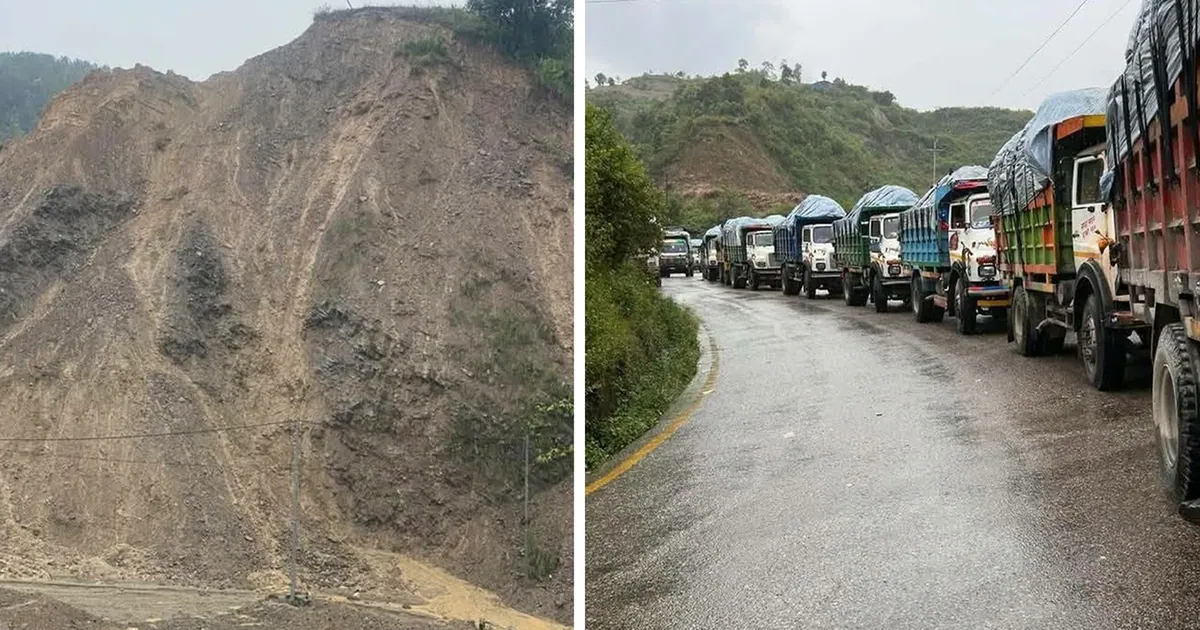
The Flood Forecasting Section said there is a high risk of flash floods in small rivers across about 38 districts today and tomorrow. Today, the high-risk districts include Gorkha, Lamjung, Kaski, Manang, Mustang, Dang, Banke, Bardiya, Surkhet, Dailekh, Kailali and Kanchanpur.
According to the Weather Forecasting Division, the highest rainfall in the 24 hours up to Friday afternoon, about 205 mm, was recorded at Archale in Palpa. The department said there is a 100 percent chance of rain in Pokhara today, with temperatures between 23 and 25 degrees Celsius, and an 80 percent chance of thunder with heavy rain in Nepalgunj.
Watch this story

Sources
Nepal's top stories, twice a day on video
Morning and evening: short, clear and sourced (in Nepali).
Subscribe on YouTubeFollow on Facebook