
Cyclone Arnab's impact from Thursday, heavy rain likely on Kartik 13 and 14
The Meteorological Forecasting Division has said Cyclone Arnab, formed over the Bay of Bengal, is likely to bring heavy rain, snowfall, snowstorms and avalanche risk across Nepal from Thursday to Saturday. According to the division, the country is currently under the partial influence of westerly winds.
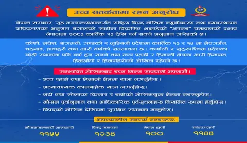
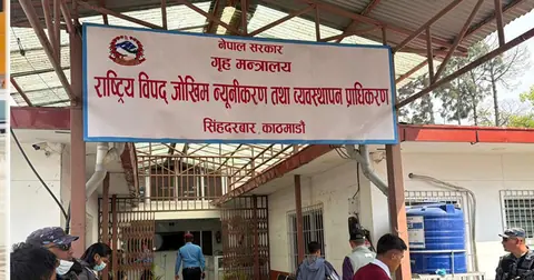
With heavy rain, lightning and windstorms possible on Kartik 13 and 14, the National Disaster Risk Reduction and Management Authority has urged people to remain on high alert. The authority said many places in Koshi, Madhesh, Bagmati, Gandaki and Lumbini provinces could see thunder, lightning and windstorms along with moderate rain, with heavy rain possible in some areas. People have been advised not to go trekking in high mountain and hill regions. Farmers have been advised to harvest paddy only before Kartik 12 or after Kartik 15.
The cyclone, which was over the sea surface in the Bay of Bengal until Tuesday, began making landfall from Wednesday morning. It is forecast to reach the coastal area of India's Andhra Pradesh today, after which authorities there have started moving residents of at-risk areas to safer locations.
Meteorologists say the cyclone's intensity will weaken by the time it reaches Nepal, but it could still bring heavy snowfall to the Himalayan region. According to meteorologists, the cyclone's effect will be strongest on Friday.
Latest bulletin

Sources
Nepal's top stories, twice a day on video
Morning and evening: short, clear and sourced (in Nepali).
Subscribe on YouTubeFollow on Facebook